Services to Aid in Architecture, Engineering, and Construction
Shamrock+ provides high-quality visual solutions for the Architecture, Engineering, and Construction (AEC) industry. We help teams plan, build, and document with precision.
Our services include LiDAR scanning, 3D virtual tours, aerial drone imagery, and as-built documentation. These tools capture accurate site data and support every phase of your project.
We create digital twins, floor plans, site models, and elevations using advanced laser scanning technology. This allows for better decision-making, reduced rework, and improved project coordination.
Additionally, our construction progress documentation tracks milestones, monitors conditions, and verifies compliance. We help keep your team informed and your timeline on track.
We also offer thermal drone inspections to detect moisture, energy loss, and structural issues. This helps prevent costly repairs and delays.
Moreover, our 360° virtual tours allow remote stakeholders to explore the site anytime. These tools improve communication and reduce site visits.
With years of AEC experience, Shamrock+ understands the demands of your industry. Our deliverables are fast, clear, and easy to integrate.
Shamrock+—your trusted partner for AEC visual solutions that enhance accuracy, efficiency, and collaboration.
LiDAR & 3D Scanning
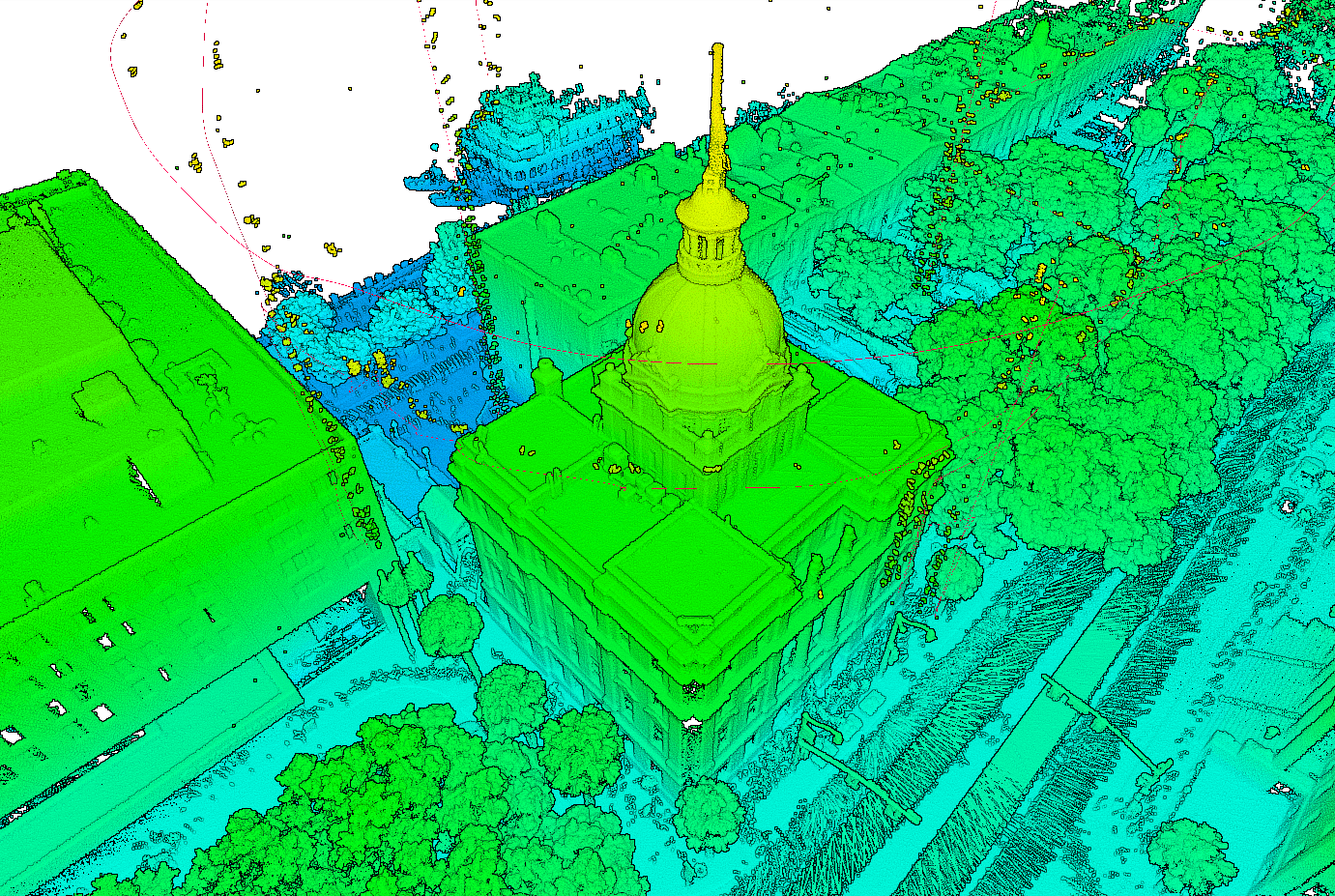
Precise LiDAR and 3D scanning services utilized to capture detailed spatial data for the AEC industry. Our advanced scanning technology creates accurate digital twins, point clouds, 3D virtual tours, and as-built models for architecture, engineering, and construction projects.
Using laser-based LiDAR, we record millions of data points to map structures, interiors, and terrain with unmatched accuracy. This helps teams measure, plan, and design with confidence.
Our deliverables include floor plans, elevations, Revit models, and CAD exports. These files integrate easily into your workflows, supporting better coordination and decision-making.
Whether you’re documenting existing conditions or preparing for renovation, Shamrock+ delivers fast, reliable, and high-resolution results.
Drone Services
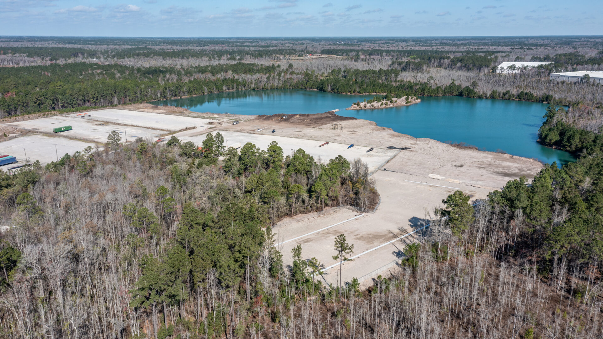
Shamrock+ provides professional drone services for the Architecture, Engineering, and Construction (AEC) industry.
Our licensed pilots capture high-resolution aerial photos, videos, and survey data with precision.
We offer aerial surveying, FLIR thermal inspections, and photogrammetry to support every phase of your project.
From early planning to final close-out, we deliver fast, safe, and cost-effective solutions.
Architects use our imagery to visualize site conditions. Engineers rely on our data to analyze terrain. Contractors track job site progress in real time.
Whether you need construction updates, marketing visuals, or topographic mapping, Shamrock+ provides clear, accurate results.
Shamrock+ drone services help you stay on schedule, reduce risk, and make informed decisions every step of the way.

Digital Renderings
Digital Rendering services applied to enhance property marketing and design planning.
With digital staging, we add virtual furniture and décor to empty spaces. This helps buyers and tenants imagine the full potential of a property. It also saves time and eliminates the cost of physical staging.
Our virtual renovation services create photorealistic images of planned updates or remodels. From small upgrades to full redesigns, we show you what the final result could look like.
These visuals help clients make confident decisions before construction begins. They also improve communication between property owners, architects, and contractors.
Together, these services boost property appeal and streamline the renovation process.
Shamrock+ uses cutting-edge technology to deliver accurate, high-quality renderings tailored to each project.
Topography Services for AEC
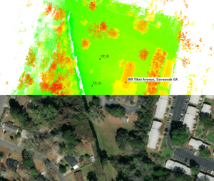
We use advanced drones and LiDAR scanning to capture accurate site data.
Our services include topographic maps, elevation models, and contour data.
This information helps project teams plan faster and make smarter decisions.
Our high-resolution terrain data supports land development, grading plans, drainage analysis, and site design.
By capturing real-world conditions early, we help reduce risks and avoid costly surprises.
This also improves coordination and streamlines your workflow.
Whether you're designing roads, developing property, or managing environmental impact, we’ve got you covered.
Shamrock+ topography services deliver the precision and insight your project needs to succeed.
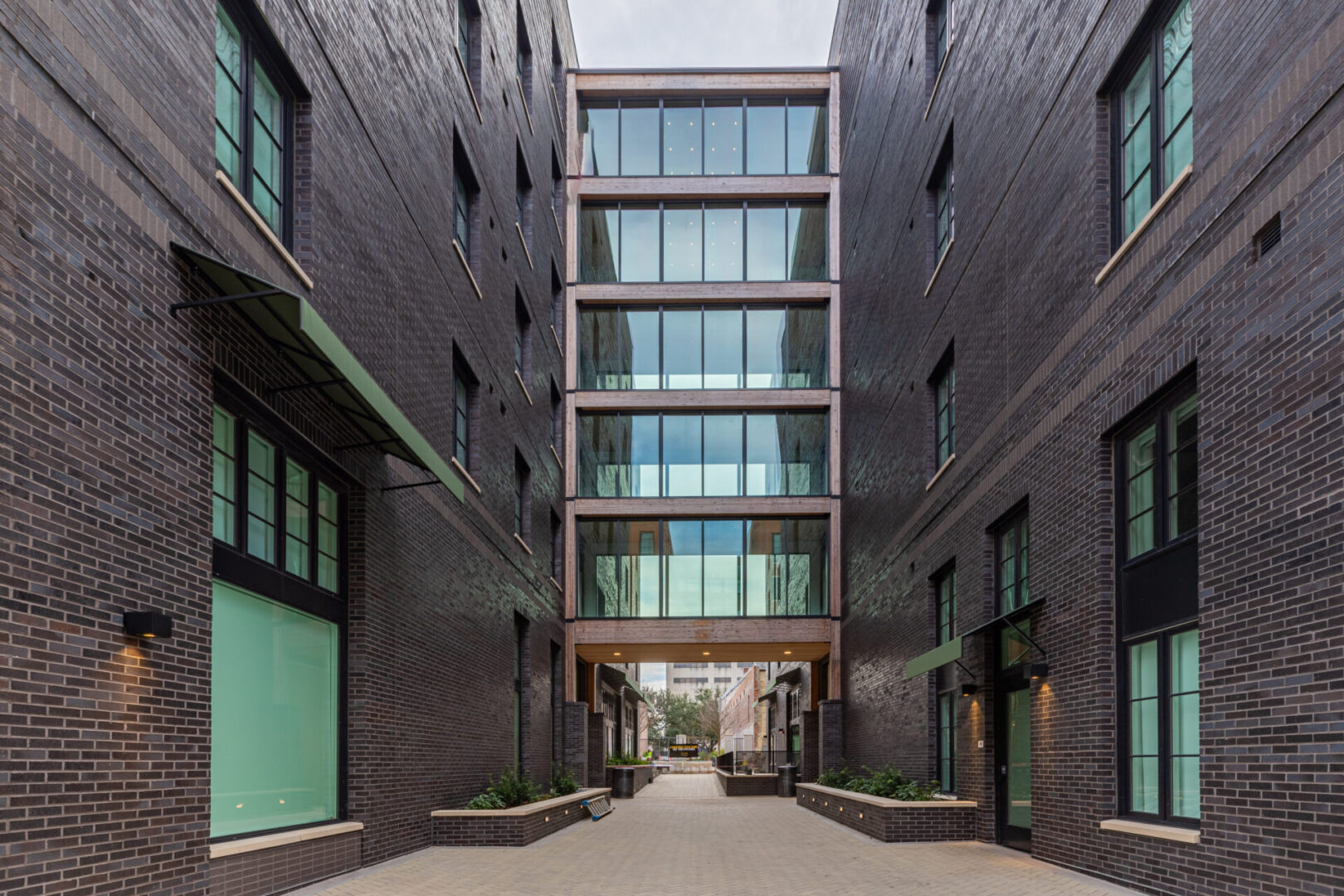
Photography & Videography
We capture high-resolution images and cinematic videos that document your project from start to finish.
Our visuals help communicate progress, support marketing, and create lasting records for clients and stakeholders.
Whether you need to highlight design details, track key milestones, or promote your work, we deliver content that makes an impact.
Our team creates visuals that elevate your brand and bring your AEC projects to life.
Services include architectural photography, aerial drone footage, construction progress documentation, and time-lapse videos. Each service is tailored to fit your project goals and timeline.
Get in Touch
Ready to capture your vision? Contact us today to discuss your project or explore our full range of services, including our exceptional rendering services. Let Shamrock+ show you the world through our lens.
