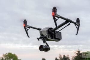
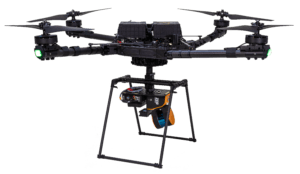
Drones Services in AEC: Enhancing Accuracy and Efficiency
Capture with clarity. Survey. Document. Deliver.
Serving Key Industries with High-Quality Aerial Visuals
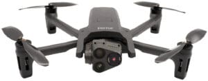
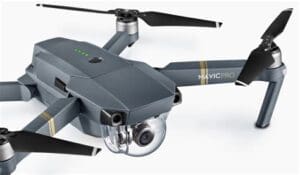
Shamrock+ uses advanced drone technology to capture high-quality visual data from the air. First, we deliver sharp aerial photos, smooth video footage, and accurate maps that help tell the full story.
In addition, our drone services support industries like construction, real estate, architecture, and engineering. For example, we collect data for site surveys, progress tracking, marketing visuals, and design planning.
As a result, teams can see projects clearly, spot problems early, and make better decisions at every stage.
Certified Pilots and Professional Equipment
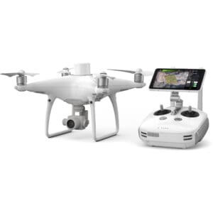
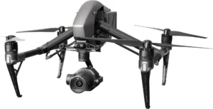
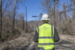
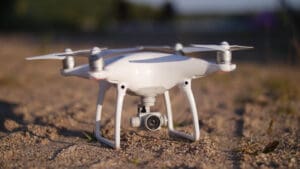
Every flight is operated by an FAA Part 107 certified drone pilot. In addition, we use professional-grade aerial photography and videography equipment to ensure top-tier results. As a result, you receive clear, reliable visuals that meet project needs and industry standards.
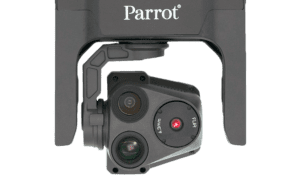
Moreover, we offer a wide range of drone solutions, including photogrammetry, FLIR thermal inspections, and aerial surveying. These services help identify structural issues, track construction progress, and verify site conditions with precision.
Benefits of Aerial Data Collection
Additionally, aerial data gives you a clear view of hard-to-reach or expansive areas. This advantage improves project planning, supports faster decisions, and reduces on-site risk.
Whether you’re managing a build, selling a property, or documenting site changes, Shamrock+ drone services deliver the insight and accuracy you need.
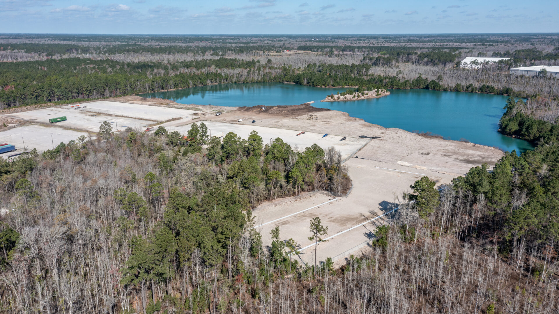
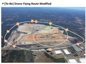
Obtain bird’s-eye views of construction sites and landscapes to monitor progress, assess site conditions, and gather data for planning and design purposes, improving project management and decision-making processes.
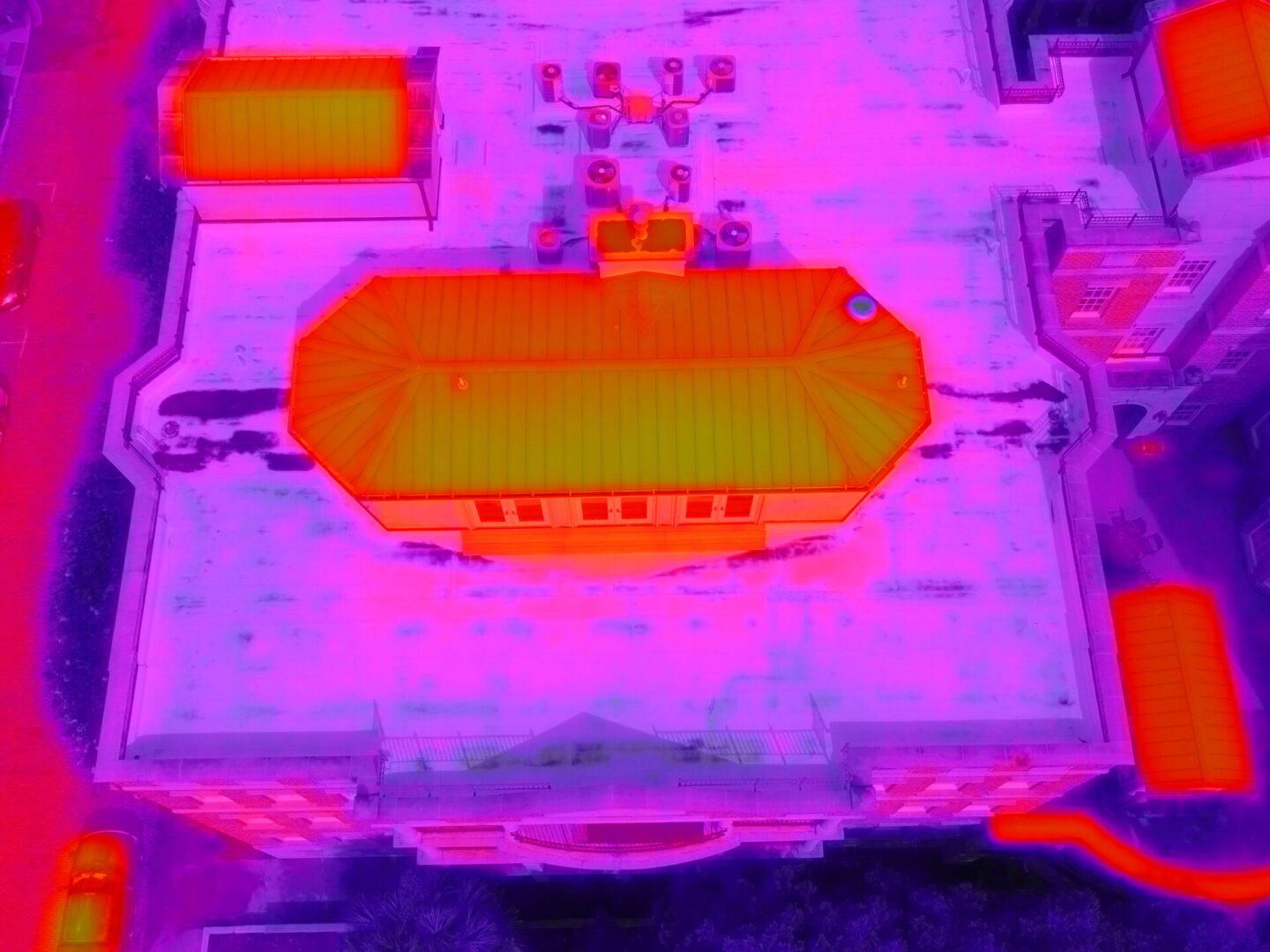
Identify thermal irregularities and energy inefficiencies in buildings and structures, enabling proactive maintenance, energy conservation, and safety enhancements.
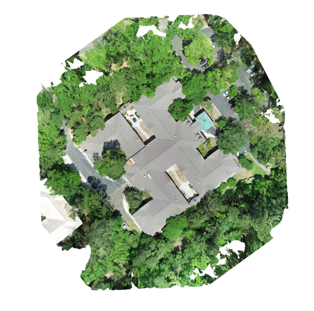
Generate detailed 3D models and maps from aerial or ground-based photographs, facilitating accurate measurements, volumetric analysis, and visualization of terrain and structures.
Small space inspections use drones and scanners to safely access tight or confined areas, capturing accurate visuals, measurements, and structural data.
Shamrock+ Drone Services
Capture with accuracy. Analyze with confidence. Elevate every project.

