Aerial Surveying
Precision from above. Fast data. Clear insights. Smarter decisions.
Accurate Aerial Surveys for Projects of Any Scale
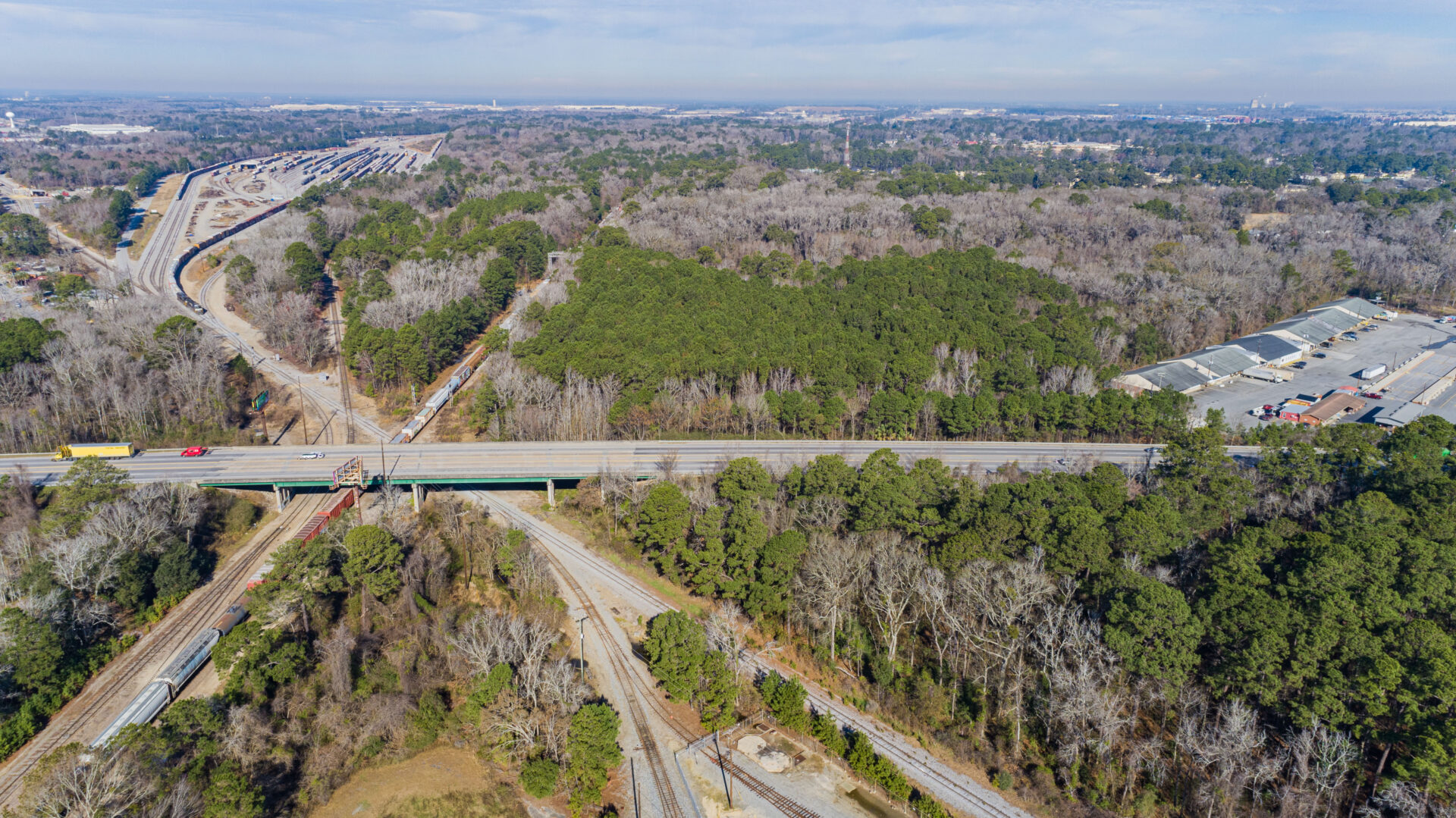
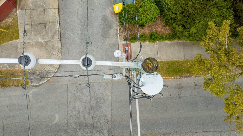
Shamrock+ provides advanced aerial surveying services that deliver the clarity, accuracy, and speed your project demands. Using drone-based technology and expert data processing, we help clients collect precise geospatial data from the sky. Our aerial surveying solutions are ideal for construction sites, infrastructure projects, land development, disaster relief, and more.
Based in Savannah, we offer professional aerial surveying in Savannah and across the Southeast. Our team uses GPS-enabled drones, LiDAR technology, and photogrammetry tools to deliver fast, high-resolution survey results tailored to your platform—whether that’s GIS, CAD, or BIM.
How Drone Surveying Improves Project Planning

Every successful project starts with solid data. That’s where drone-based surveying solutions come in. Traditional land surveys can take days or weeks. In contrast, drone surveying reduces time and costs while capturing detailed imagery and elevation data from above.
Moreover, drone technology allows us to access hard-to-reach areas with less manpower and risk. This is especially useful for large sites, uneven terrain, or active construction zones.
As a result, project managers gain a real-time view of conditions, helping them plan more efficiently. By using our Savannah aerial surveying services, clients can make informed decisions from the start and keep work moving forward.
Drone-Based Surveying Solutions Built for Precision
At Shamrock+, we don’t just fly drones—we fly with purpose. Our FAA-certified pilots and mapping specialists follow rigorous workflows to ensure each survey meets your accuracy standards.
We offer:
-
Orthomosaic mapping
-
Digital elevation models (DEMs)
-
Contour line generation
-
3D terrain models
-
Volume and stockpile analysis
-
Site comparison and timeline tracking
Each output is formatted to suit your needs. Whether you use GIS aerial survey data processing or work in AutoCAD or Revit, we provide clean, reliable files that integrate seamlessly with your platform.
LiDAR Aerial Surveying Services for Dense and Vegetated Terrain
For areas with dense vegetation or complex topography, Shamrock+ offers LiDAR aerial surveying services. LiDAR (Light Detection and Ranging) uses laser pulses to penetrate tree canopies and ground cover, producing accurate elevation data and surface models.
Furthermore, LiDAR is ideal for floodplain studies, environmental assessments, and forested land development. Our systems gather high-density point clouds quickly and safely, minimizing the need for ground-based crews.
In addition, we combine LiDAR data with visual imagery to deliver 2D and 3D maps that are both technically precise and easy to interpret.

Reliable Drone Surveying for Construction Projects
Construction firms rely on Shamrock+ for reliable drone surveying that supports planning, monitoring, and documentation. From pre-construction to project closeout, aerial surveys offer clear insights at every stage.
We help you:
-
Compare as-built conditions with design plans
-
Monitor safety, access points, and site logistics
-
Generate reports for stakeholders or inspections
Consequently, contractors save time, reduce site visits, and gain a competitive edge with accurate, high-resolution visuals. Our data supports better communication, faster decision-making, and reduced rework.
Savannah Aerial Surveying Services You Can Trust
As a Savannah-based company, we proudly serve coastal Georgia and the surrounding region with responsive, detail-driven support. Our Savannah aerial surveying services are trusted by architects, engineers, developers, municipalities, and environmental consultants.
We know how to navigate FAA regulations, weather conditions, and geographic challenges specific to the Lowcountry. Whether you’re mapping a flood zone, analyzing marshland, or monitoring an urban infill project, we tailor our approach to your goals.
Additionally, we offer rapid mobilization and delivery—often within 48–72 hours of flight.

Flexible Services for Every Industry
Our aerial surveying services support a wide range of sectors, including:
-
Land development and planning
-
Environmental science and conservation
-
Public works and infrastructure
-
Transportation and logistics
-
Utilities and energy
-
Emergency response and damage assessment
From rooftop inspections to watershed mapping, our drone surveys give professionals the insights they need—without the hassle of traditional ground surveys.
Committed to Innovation and Accuracy
At Shamrock+, we believe better data leads to better decisions. That’s why we continuously invest in the latest drone systems, mapping software, and geospatial training.
In fact, our team combines backgrounds in architecture, construction, engineering, and GIS. This multi-disciplinary expertise helps us understand your challenges and deliver results that align with your project’s scope and timeline.
Our aerial surveying services are not only fast and affordable—they’re also repeatable, scalable, and ready for use across the full project lifecycle.
Real Projects, Real Impact
From documenting construction at multi-acre job sites to mapping historic landscapes, Shamrock+ brings clarity to complex projects. Our clients use aerial surveying to visualize conditions, streamline planning, and improve collaboration.
Shamrock+ Aerial Surveying
Visualize the land. Plan with insight. Survey smarter from the sky.


