Topography Services
Map with accuracy. Analyze with confidence. Plan with clarity.
Precision Topographical Data for Smarter Site Decisions
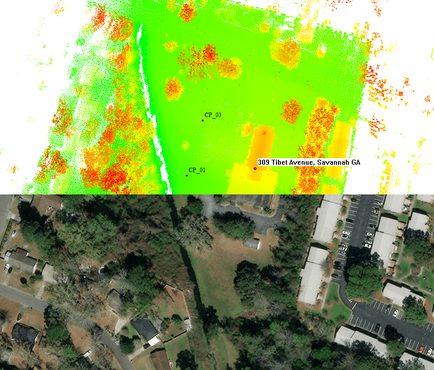
Shamrock+ provides accurate topography services that support site planning, environmental studies, and civil engineering projects. Using advanced 3D laser scanning and drone technology, we capture the shape, features, and elevation of your site with precision.
Our data helps architects, engineers, and developers visualize terrain, identify potential challenges, and move forward with confidence.
Topographical Maps and Site Analysis
We create detailed topographical maps that show elevation changes, slopes, and terrain features. These maps serve as essential tools for site analysis, helping you make informed decisions early in the project timeline.
Whether you're preparing for new construction or land development, our maps highlight critical elements such as drainage paths, vegetation, and surface contours.
Additionally, we format all deliverables to integrate with CAD, GIS, and BIM platforms—so you can analyze and design without delay.

Site Inspections & Contours
Our team conducts thorough site inspections using LiDAR, drones, and GPS-enabled tools. We assess current conditions and collect accurate elevation data across large or complex sites. This process ensures that your design plans reflect real-world conditions—down to the last inch.
We also document structural features, land use, and access points, making our topographic reports useful for permitting, environmental reviews, and engineering layouts.

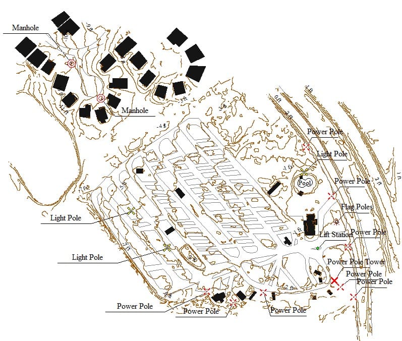
Survey Annotations
Add annotations and markers directly to your survey data and topographical maps to enhance clarity and context. These visual notes help identify key features, property lines, access points, and areas of concern—making your data more actionable. As a result, planners, engineers, and decision-makers can easily understand the site's unique conditions and potential challenges. This added layer of information supports communication, streamlines project planning, and reduces misinterpretation during development and design reviews. Whether you're preparing for permitting, stakeholder presentations, or internal collaboration, annotated visuals provide the extra detail needed to move forward with confidence.

Watershed / Flooding Projections
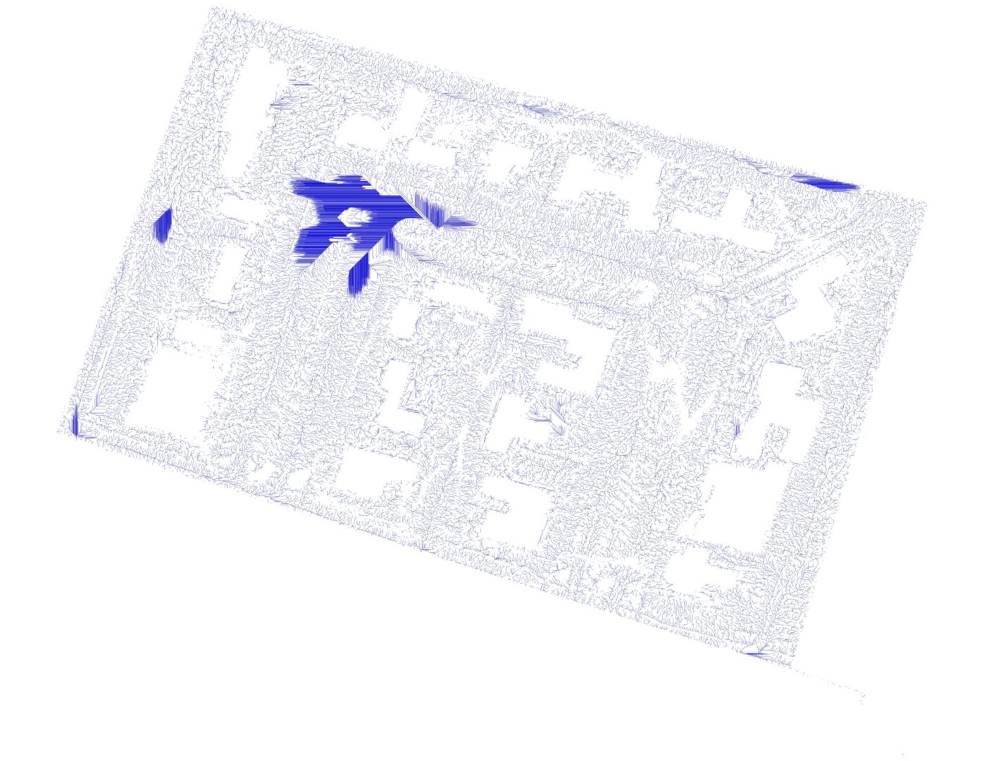
In addition to mapping the land, we offer watershed projections and flooding projections based on terrain data. This is especially important for projects in low-lying or coastal areas like Savannah.
By analyzing elevation and water flow, we help clients plan for runoff, manage stormwater systems, and reduce long-term risk. These tools are valuable for both new development and infrastructure upgrades.
