Digital Twin & 3D Point Cloud Services for AEC Projects
Capture your project in full detail. Visualize, measure, and manage with precision.
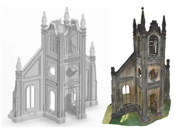
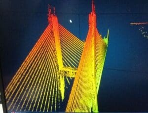
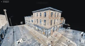
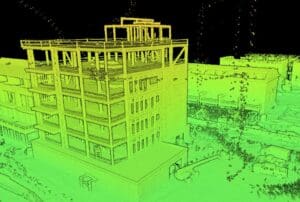
Shamrock+ offers advanced 3D digital twin solutions for architects, engineers, and construction professionals. We use powerful laser scanning tools to create high-resolution 3D point clouds and clear digital representations of real spaces. As a result, our services help AEC teams see conditions, take exact measurements, and plan with greater accuracy.
To begin, each project starts with precise 3D laser scanning. Then, we turn that data into a virtual representation of the existing environment. These digital twins are exact digital copies. They are ideal for planning, renovation, maintenance, and long-term records.
Whether you need full interior scans, outside models, or large-area surveys, our cloud-based 3D visualization tools give you quick access, better control, and smarter project decisions.

Building Digital Twins from Laser Scans
First, our process begins on-site with advanced 3D laser scanning. We quickly collect exact measurements of walls, ceilings, fixtures, and other surfaces. These scans create a detailed 3D point cloud, which we then use to build your digital twin.
Next, we record every feature with millimeter-level accuracy. After that, our team creates editable files and easy-to-use digital models that show real-world conditions—right down to the smallest detail.
Shamrock+ focuses on building digital twins from laser scans that are accurate, scalable, and ready to use in BIM platforms or any major design software.
Scan-to-BIM Digital Twin Deliverables
We offer full scan-to-BIM digital twin services to streamline design and construction workflows. Our deliverables are tailored to your platform and include:
-
High-resolution 3D point clouds
-
Revit-compatible models
-
2D CAD plans
-
Cloud-based walkthroughs
-
Digital twins for asset tracking and planning
With LiDAR point cloud modeling, you get the data fidelity needed to coordinate across trades, verify site conditions, and reduce rework. All files are delivered in formats that plug directly into your existing software, including Revit, AutoCAD, and Navisworks.

Precision Measurement and Data Collection
Shamrock+ ensures every digital twin is based on precision measurement. Our team collects exact data measurements from every scan—capturing even hard-to-reach or visually complex areas.
We provide:
-
Exact measurements from floor to ceiling
-
Surface profiles and elevation changes
-
Volume calculations and structural spacing
-
Detailed dimensioning for documentation and compliance
This level of accurate laser-gathered measurements supports layout planning, clash detection, and precise coordination with MEP systems and construction schedules.
Benefits for AEC Projects
Our 3D digital twin services in Savannah and the Southeastern U.S. provide major benefits for construction, engineering, and architectural teams. These include:
-
Improved design coordination and planning
-
Reduced risk of field errors or change orders
-
Enhanced communication with stakeholders
-
Real-time visual access to site conditions
-
Long-term documentation for asset management and facility operations
Digital twins and 3D point cloud services are especially valuable for projects involving renovation, adaptive reuse, or complex site conditions.

Applications Across Industries
Shamrock+ supports a wide range of AEC clients with digital representations that fit their unique project goals. Our services are ideal for:
-
Engineers modeling for structure or MEP systems
-
Contractors verifying work in progress
-
Developers planning additions or site expansions
-
Facility managers overseeing ongoing maintenance
With cloud-based 3D visualization, you can access your model from anywhere and collaborate across remote teams.

Why Choose Shamrock+
At Shamrock+, we combine local know-how with national experience. As a trusted name for 3D digital twin services in Savannah, we deliver clear, reliable results that fit your timeline and budget.
Moreover, our team includes licensed drone pilots, skilled scan techs, and experienced modelers. Because of this, we know how to turn real-world data into useful digital tools that help you save time and make smart decisions.
Shamrock+ Digital Twin & 3D Point Cloud Services
Capture with clarity. Visualize with accuracy. Build with certainty.
