Shamrock+ Deploys Drone Technology to Assist with North Carolina’s Recovery After Hurricane Helene
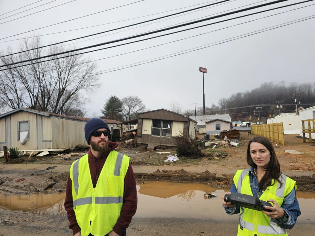
(FEBRUARY 2025, SAVANNAH, GA / ASHEVILLE, NC) – Shamrock+ has mobilized its FAA-certified drone pilots and visual observers to support disaster relief efforts in western North Carolina following Hurricane Helene. The disaster, which struck in September 2024, left widespread destruction across the region. Beginning February 6, 2025, Shamrock+ partnered with JBW Federal and the U.S. Army Corps of Engineers to provide aerial documentation and drone imaging.
Aerial Documentation of Storm Damage
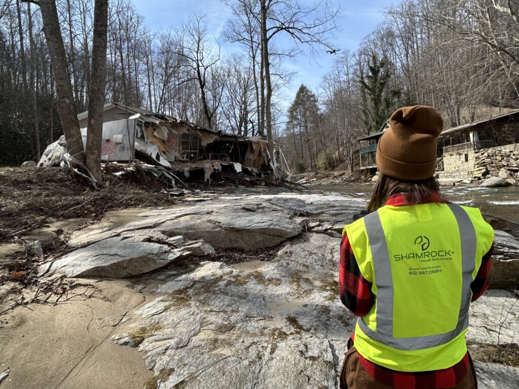
Shamrock+ uses high-resolution drone technology to capture critical imagery of flood zones, streams, and damaged terrain. Their drone flights focus on areas where Hurricane Helene caused extensive flooding and left debris. Officials estimate nearly 50 million cubic yards of debris remain across impacted counties. These flyovers provide essential data to agencies managing clean-up, rebuilding, and disaster response.
High-Precision Imaging and LiDAR Mapping
In addition to standard drone imaging, Shamrock+ delivers LiDAR mapping and 3D modeling services. These tools generate accurate visual data that help government teams, engineers, and contractors make informed decisions. Every image is geo-referenced and designed to integrate with recovery planning software. As a result, recovery teams can assess damage, plan routes, and deploy resources faster.
Drone Imaging That Supports Emergency Management
“Shamrock+ is proud to support disaster recovery where it all started,” said Jim Lee, CEO of Shamrock+. “Our experience with aerial imaging helps provide the clarity and speed that emergency teams rely on.”
This work is personal for Shamrock+. Founders Jim Lee and Ryan Murphy met in 2016 while working with the U.S. Army Corps of Engineers during Hurricane Matthew. They supported FEMA’s emergency power team, restoring power to essential public buildings. That mission inspired them to launch Shamrock Drones—now Shamrock+—offering professional drone services and digital documentation.

Supporting Disaster Relief Efforts and Long-Term Resilience
With a focus on long-term recovery, Shamrock+ provides services that go beyond documentation. Their visual data helps improve infrastructure resilience, guide funding decisions, and support future emergency preparedness. From post-storm imaging to flood mapping, Shamrock+ plays a vital role in protecting communities and advancing disaster relief efforts through technology.
Serving the AEC Industry and Emergency Partners
Based in Savannah, Georgia, Shamrock+ offers high-quality drone services, aerial photography, 3D scanning, and LiDAR mapping. Their clients include architecture, engineering, and construction (AEC) professionals as well as emergency response teams. By delivering data-driven solutions, Shamrock+ supports progress, planning, and recovery at every stage.
ABOUT SHAMROCK+
Shamrock+ is a service-disabled veteran-owned business in Savannah, GA. They specialize in drone services, photography, 3D scanning, and reality capture solutions. Their technology supports AEC projects, disaster recovery, and infrastructure planning. For more information, visit shamrockplus.com, call 912-387-0884, or email info@shamrockplus.com.
Visit the Shamrock+ office at 110 Oglethorpe Professional Blvd, Savannah, GA 31406.